WAD Valley


December 14, 2016

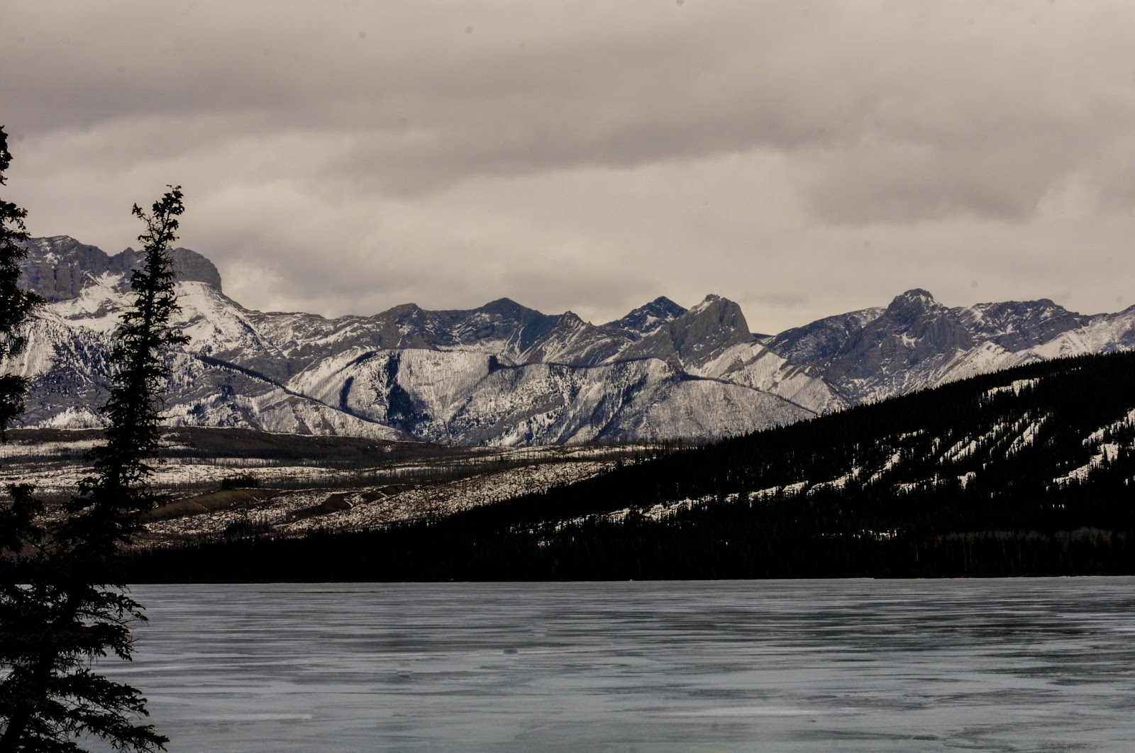
I returned to the Rockies on my vacation with my puppy and attempted to explore the WAD Valley. The exact whereabouts escaped me though it turned out to be relatively simple. On Maligne Lake Road you will continue south to the end of Medicine Lake.  Continue driving south past the Beaver Lake (Jacques Lake / South Boundary Trail) staging area.  Once the hill starts a gradual climb you've gone too far, and can circle back to the first (blatant) drainage on the side of the road.

Updates

Once more I've made some updates to the site.  Since my guidebook of Waterfalls Alberta is circulating around and I'll be swept into the military life soon, and won't be able to track waterfalls in Alberta for a while, there seemed to be a need to make a minor update.


  • On my maps pages I included names of some of the waterfalls that I have on my long list of those to accomplish.  It may be a while before I can tackle these, however no need for me to hold you back on your adventures.

Once I'm back in the exploration mode again, I'll be sure to also open up new areas, such as Lundbrek Falls, Willmore Wilderness, Kakwa Wilderness, Castle River & the Crowsnest Pass.

Bear Spirit

February 13, 2016

This waterfall took me a while to get my bearings as to where it might be located.  I've read summer hikes of this trail, however I never heard anyone speak of a waterfall.  I proceeded skeptical, in search of what ice climbers call Bear Spirit.

Miette Falls

February 14, 2016

I first heard of this in search of ice climbs in Jasper.  I believe this one is called Rocky River Blues to the ice climbing community, however I went with a more proper title, denoting the Miette Range that it belongs.  The Rocky River is actually where this waterfall drains into, making it hard for me to commit to naming it after the river it later becomes.

I wasn't able to get a good enough angle of the waterfall from where I stood, however it is visible (mostly though a powerful zoom lens) from the Talbot Lake boat launch.  The picture above is from the pull over located in the middle of Talbot Lake, a couple kilometers further away from the waterfall.

I overshot the Talbot Lake boat launch thinking the bathroom stall located at the start of Jasper Lake would offer me a better view.  I was sorry to notice that the location was under repair with some heavy machines taking up the majority of the parking lot.  As I got a picture and was capable of noting this waterfall I decided that I would push onward on my journey looking for more ice climbs.

Drambouie Demon & Folding Curtain

February 14, 2016

Having located these two waterfalls has started a small change in my maps for the site.  As I had initially created a map for Rock Lake and a map for Whitehorse, I didn't have this area covered.  For now I've added these to the Rock Lake (which will now be known as Rock Lake & Hinton Foothills).  In the coming trips I believe I might be pushing more territory in the Hinton Foothill range, which may cause me to also meld Whitehorse into that as well.

Melt Out

February 14, 2016

This is a waterfall that took me by surprise.  I knew about Curtain Call further North and Tangle Falls to the South; however this easily miss-able waterfall is found in between on Tangle Peak.  I wasn't even sure this was a waterfall at first, but decided to pull over and take a picture anyways.

It was when I got home that I noticed this was a ice sheet, and after further research found out that it was an ice climb by the name of Melt Out.  In any case, this was a pretty waterfall, with a pop of light blue on an otherwise grey mountain rock.